Marmaton – Fort Scott
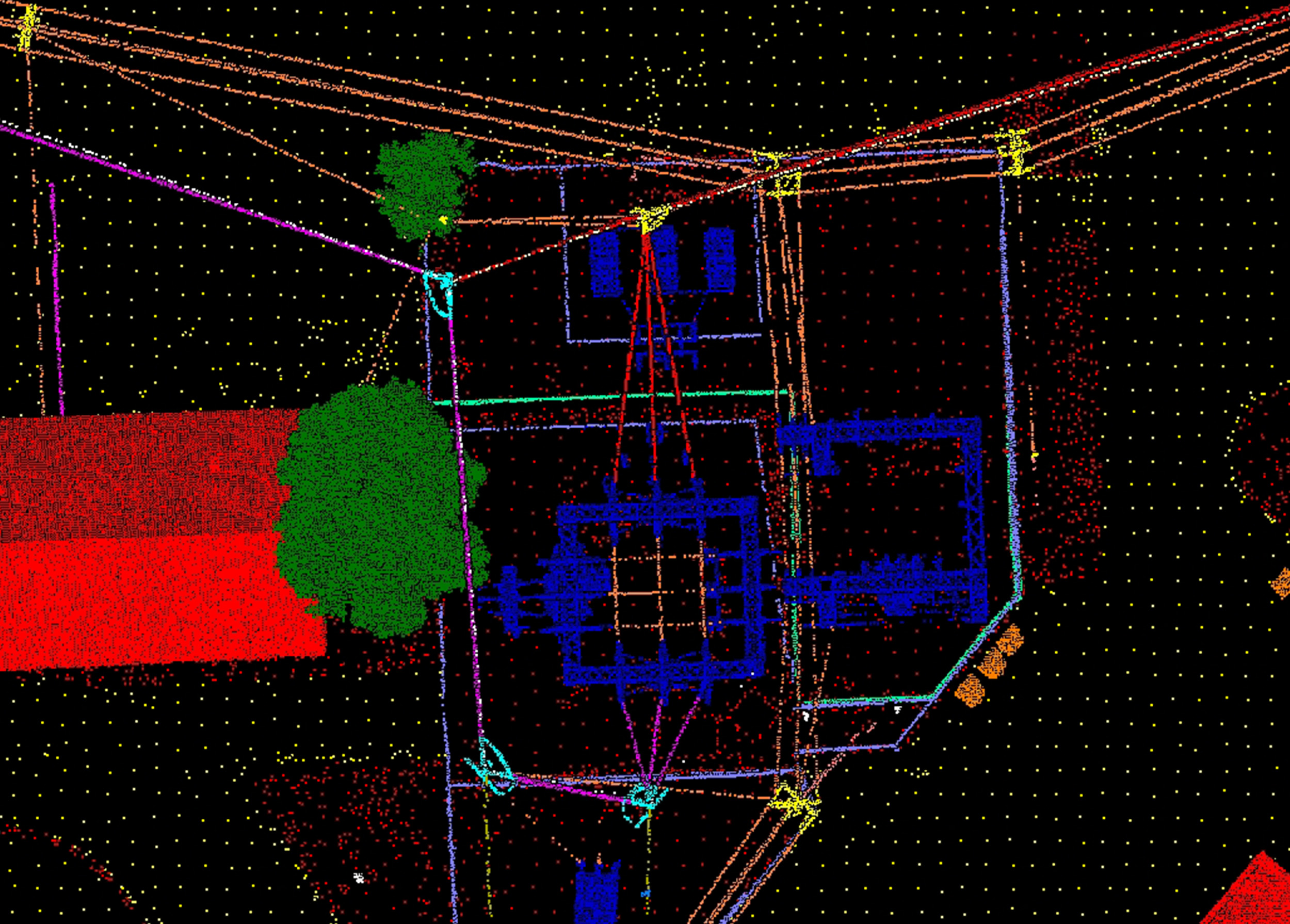
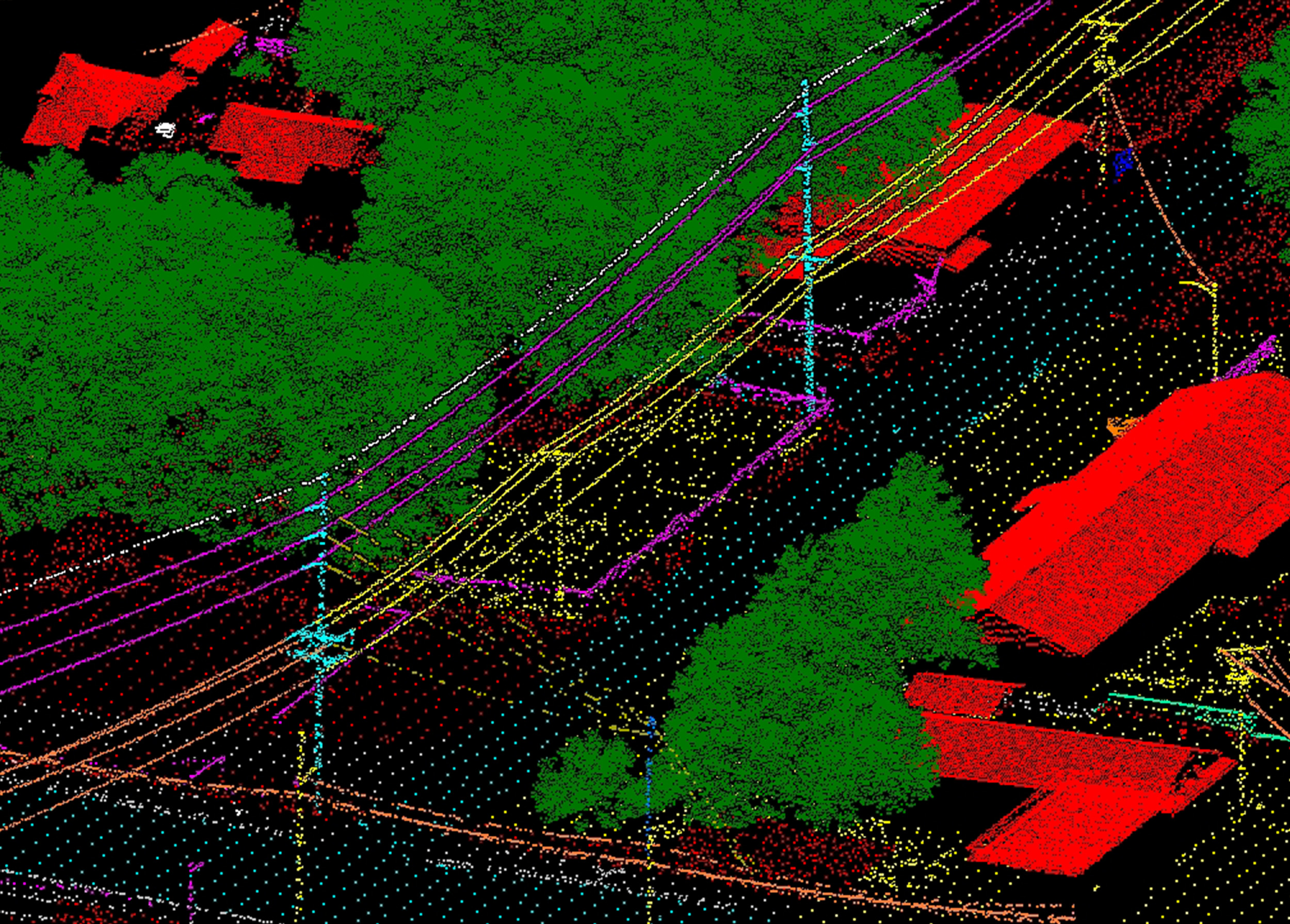
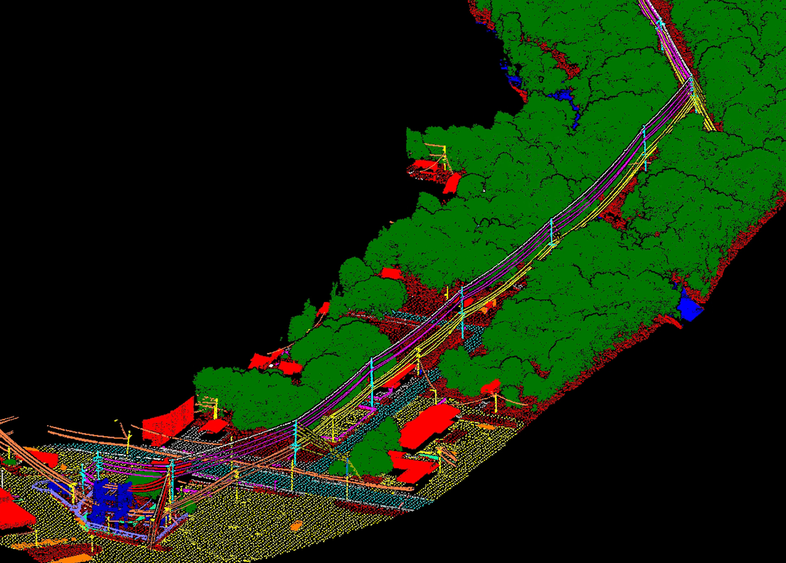
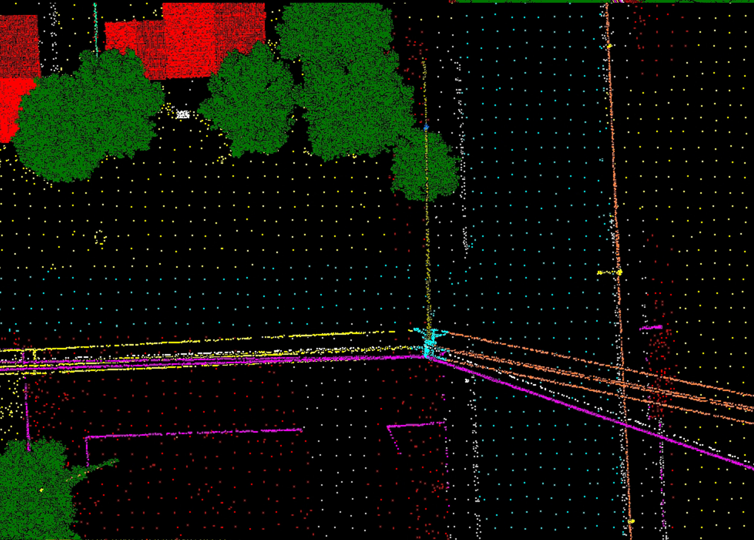
Transmission line and substation modifications were needed along the 26-mile Marmaton – Fort Scott line in southern Kansas. Wilson & Company was commissioned to capture high-density aerial lidar, aerial imagery, and field survey control to support engineering design. After aerial data was captured along the corridor, Wilson & Company’s experienced lidar team developed feature-coded lidar, a bare earth surface, and planimetric mapping to Evergy specification for integration into PLS-CADD and transmission line design.


